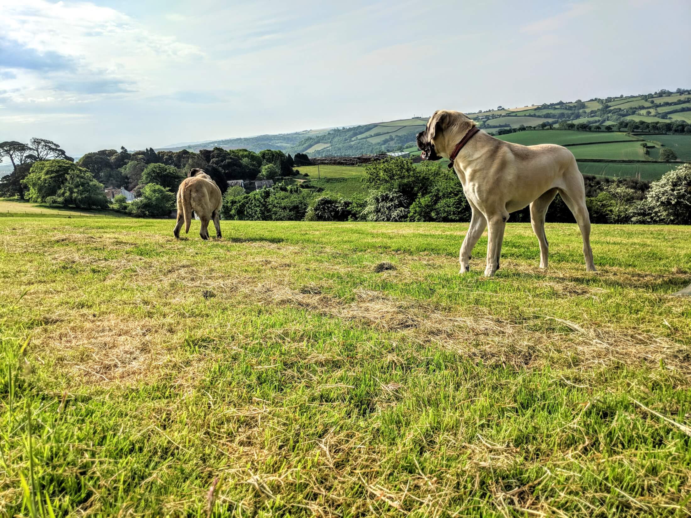
We are very proud to have won lots of awards for our dog-friendliness (including Dog-friendly Business of the Year in both Cornwall and the South West in 2017), and are always looking for ways to make our doggy guests (and their well-behaved owners) welcome. We thought it might be useful to list a few of our favourite dog walks in the area. We are spoilt for choice around here, and in your cottage you will find a compilation of walks around Pillaton (with maps), accessible straight from your door, which you can also find here. These all handily converge on the village, where our local pub is dog-friendly. Slightly further afield, I’ve listed some cracking walks, with great views, and all of which are within about half an hour’s drive or less (barring sunny bank holiday traffic!). For the driveable walks, I’ve given you the postcode for SatNav, so everywhere is easy to find (unless, of course, you don’t have SatNav …). Some of these are accessible (so good for wheelchairs or buggies) and have accessible facilities. There are access notes where applicable below. This is obviously not an exhaustive list, just a few of our local favourites. For more choice, there are some great apps with downloadable walks which you may find useful. Firstly the Walk Finder on the South West Coast Path’s website, which is a free resource, and covers all 630 miles of the Coast Path. The app grades walks by difficulty, so can be useful if you are using a buggy or wheelchair. Secondly IWalkCornwall, which has over 230 walks all over Cornwall.
Walk from the door – Polborder Woods (4.5 miles circuit)
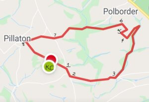
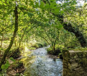
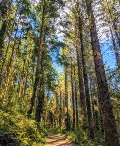
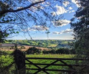
A lovely walk through the woods to Polborder and back, looping to the village (with maybe a sneaky pitstop at the pub!) before arriving back at Kernock. At the top of the drive turn right, then turn right at the bottom. Take the first left, and follow the lane down the valley, then up the other side and past Smeaton Farm. Before you get down to the bridge at the bottom of the hill, there is a gate on your left which takes you into the Duchy forestry land (permissive path). Walk through the woods, then at the end, go up the hill to the top, and go through the gate at the top of the hill along the lane. At the barns, turn right, and pass the farmhouse on your left. After about ½ a mile there is a metal gate on the left which takes you back into the woods. Follow the path until there is a fork, and take the right hand path that drops down towards the road. Turn left onto the lane, and walk up the hill, past Rowse Farm, until you come to the crossroads. Go straight across, and follow the road into the top of the village. Here you can either turn left at the bungalow Larks Rise (which brings you back onto Kernock Lane), or go right, and pop into the pub for a well-earned drink before coming home ?. Walking boots or wellies recommended (not your white trainers!)… the woods get used by horse riders, and can get very muddy after heavy rain.
Newbridge through Cadsonbury Woods – 4 miles from Kernock – PL17 7HL

Cadsonbury Woods and Hill Fort
This is a delightful walk, with several loops to suit different abilities, including wheelchairs on the section of river closest to the (free) car park. The path follows the River Lynher, and has plenty of little beachy points for doggy paddling opportunities. There is abundant wildlife here – otters are occasionally spotted in the river, and in the Spring there are carpets of bluebells and clumps of flag iris. If you’ve got the legs for it, then it is worth crossing the road and climbing up Cadsonbury Hill to the Iron Age hill fort, from where you get excellent views of the surrounding countryside.
Access – there are 3 colour coded circular walks of varying length, and the shorter walk from the car park along the river is suitable for wheelchairs and buggies (though probably not in very wet periods)
Churchtown Farm Nature Reserve – 5 miles from Kernock Cottages
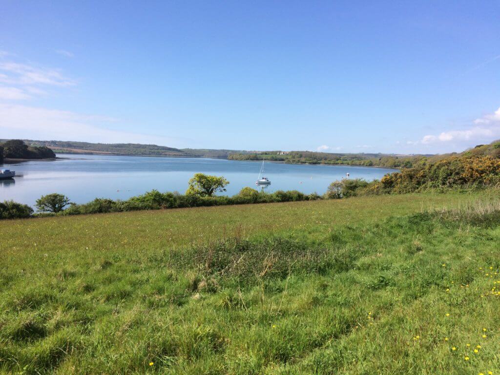
Photo of Churchtown Farm – Beth Bailey
The nature reserve covers 61 hectares at the confluence of the Lynher and Tamar rivers, offering stunning views up river towards Antony Passage and Forder Creek, and down towards Devonport and Plymouth. You rarely meet more than one or two other walkers, and there is access onto the beach in several locations. There is a handsome Brunel viaduct, and views of Trematon Castle. Plenty of photo opportunities here, both for the wildlife, and the landscape value (it sits within the Tamar Valley AONB). Beware ground nesting birds in some parts of the reserve at certain times of year, when dogs would need to be kept on a lead in that particular area, but these areas are clearly signposted. http://www.churchtownfarm.saltash.website/Home/Experience
Access – not suitable for wheelchairs or buggies due to the nature of the terrain and presence of stiles. There are no facilities at Churchtown Farm.
Parking – free in the layby opposite the entrance gate. SN – PL12 4AS
Cotehele to Calstock – 6 miles from Kernock Cottages
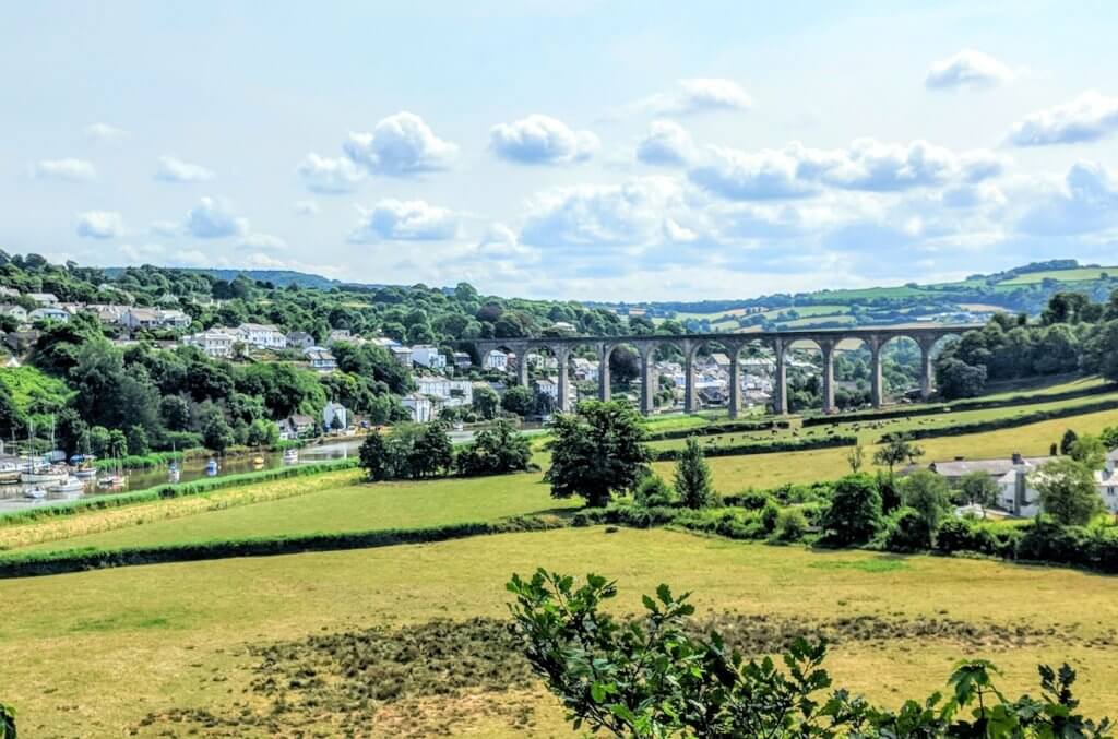
Calstock Viaduct from Cotehele
There are plenty of lovely walks at Cotehele, with glorious views of the river Tamar. The river is tidal here – quieter, wider and more placid as it gets towards the estuary, gently sculpting the landscape in wide, lazy loops. Park at the Cotehele Quay car park and take the footpath to the right, which climbs gently around the contours of the river to a viewing point. From here, you get a first glimpse of the elegant Calstock Viaduct, which is the largest viaduct in Britain to be built entirely of concrete blocks, and which is also notable for its slender proportions. Calstock itself has a slightly bohemian vibe, and is a well-known centre for arts and music. There are a couple of pubs here, and also the delightfully quirky (and dog-friendly) Lishe teashop-come-cafe, where you can indulge in some delicious homemade soups, bread and cakes https://lishe.co.uk/ . Back at Cotehele Quay, you can indulge in a Cornish cream tea (jam first, of course!!) at the Edgcumbe. Settle in by the fire with the dog curled at your feet on a blustery day (the Edgcumbe is dog-friendly), or sit outside and enjoy the view of The Shamrock in the sunshine.
Access – there are accessible loos at Cotehele Quay, but the walk itself is steep in parts, and not suitable for wheelchairs.
Parking – £3 per day, or free to NT members at Cotehele Quay car park. SN PL12 6TA
Kit Hill – 7 miles from Kernock Cottages

Photo of Kit Hill Summit – Beth Bailey
Kit Hill – now a 400-acre nature park – was donated by Prince Charles (Duke of Cornwall) to the people of Cornwall to celebrate the birth of Prince William. It is the highest point in the Tamar Valley AONB, and from the summit you get spectacular 360-degree views towards Plymouth Sound in the South, Bodmin to the West, Dartmoor to the East and on a clear day all the way to the North coast. Follow the path to the north, and you will end up at the quarry, which still has worked dressed granite lying around (the quarry provided the granite for more than one of the main bridges across the Thames in London, and was still being worked until the 1950s). It is also a popular swimming spot for wild swimmers (beware though, it is very deep – rumoured to be 45m – and the water is very cold – ice swimmers train here, as it is colder than the sea – so not one for small children or the inexperienced). If you’re feeling peckish, and the weather’s nice (no dogs inside, but welcome outside) then stop off at Louis’ Tea Rooms https://louistearooms.weebly.com/ on the way down and admire the view from there too.
Parking – free at the summit car park. SN – PL17 8AX
Maker Church to Kingsand – 16 miles from Kernock Cottages
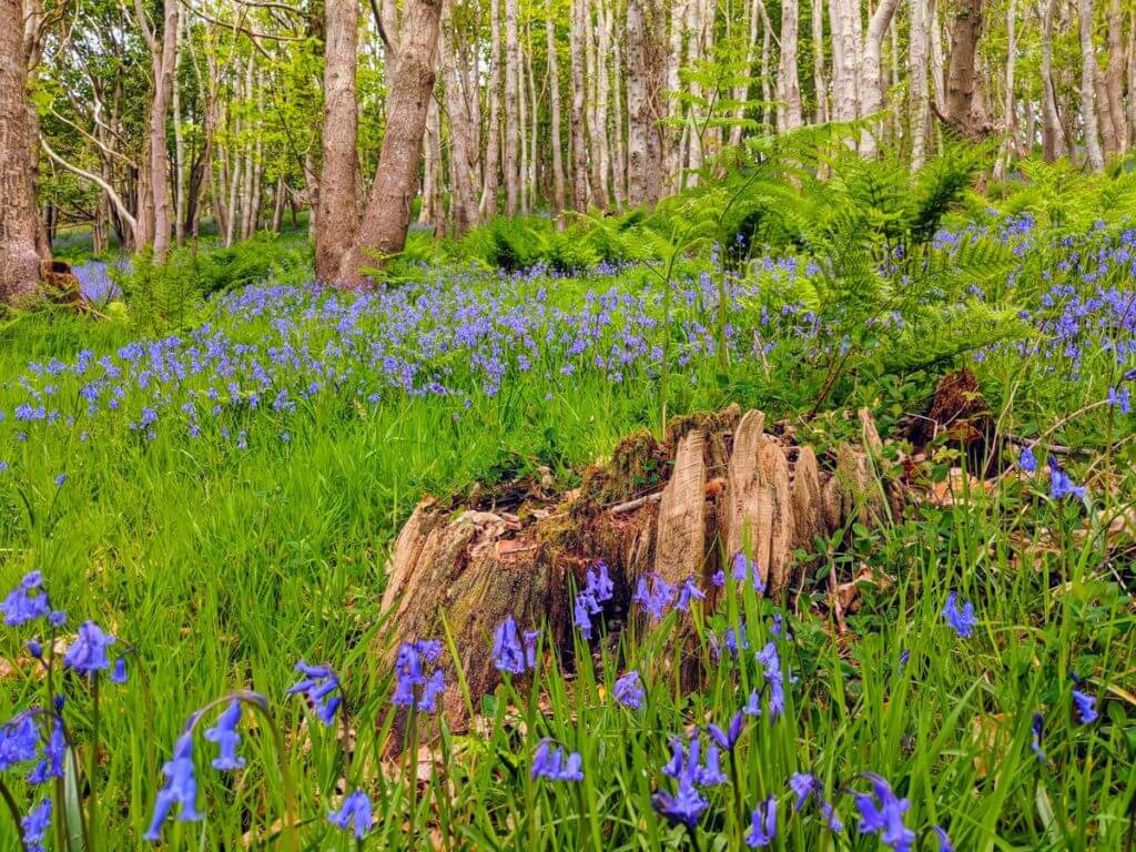
Bluebell woods on the South West Coast Path – photo Beth Bailey
This is a glorious walk of about an hour and a half (ex stops) on the Rame Peninsula, which is surrounded on three sides by water. From the top, near Maker Church, you get sweeping views up the Tamar estuary towards Devonport and Torpoint. Drop down through the deer park onto the South West Coast Path and you get views towards Plymouth. There are woods flanking the inland edge of the path which are resplendent with swathes of bluebells in May. Following the path round, you come to the pretty twin fishing villages of Kingsand and Cawsand, nestling in the crook of the peninsula. The clear blue waters of this sheltered cove make it a popular swimming spot. If you take the footpath up the hill out of the village (it is quite steep, this part, so you may need to stop and admire the view a couple of times!), make tracks for The Canteen at Maker Heights https://www.facebook.com/makercanteen, which is quirkily housed in a series of Nissen huts, and serves fabulous food (dogs very welcome outside, but not in, so pick a sunny day and enjoy the fantastic views!).
Parking – there is an honesty box (their other car parks are £1) in the Maker Church car park. SN – PL10 1JB
Tamar Trails – 10 miles from Kernock Cottages
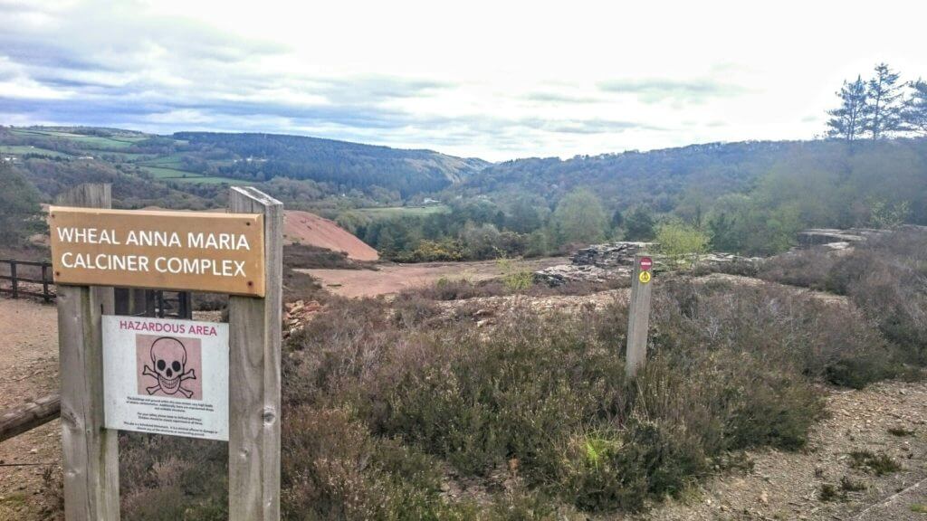
Wheal Anna Mine at Tamar Trails – photo Beth Bailey
This isn’t strictly speaking South East Cornwall, as you do have to stray over to the Dark Side (Devon!) – it is just over the River Tamar. However, if you are looking for a cool walk for your hot dog on a sunny day, then it is well worth the (short) excursion, as the forest canopy provides welcome shelter. Tamar Trails http://www.tamartrails.co.uk/ is in a designated Area of Outstanding Natural Beauty and forms part of the Cornwall & West Devon Mining Landscape World Heritage Site. There are 25km of graded trails, ideal for walking or cycling, and if that seems a bit too tame then you can also go treesurfing, canoeing and do archery here (booking recommended for those activities). The trails are dotted with interesting mining heritage – old engine houses and mine workings (beware of letting the dog drink from puddles, as there are also old arsenic workings and you can get mineral concentrations in the ground water). They have several accessible trails, and also have a Tramper for hire (Trampers are an all-terrain mobility scooter – fantastic for allowing less mobile family members to join in the fun). There is also a café close to the car park.
Access – there is Tramper hire at Tamar Trails, and some of the trails are accessible. The Café has accessible loos.
Parking – £1 for 2 hours in the car park. SN – PL19 8JE
Whitsand Bay – 10 miles from Kernock Cottages
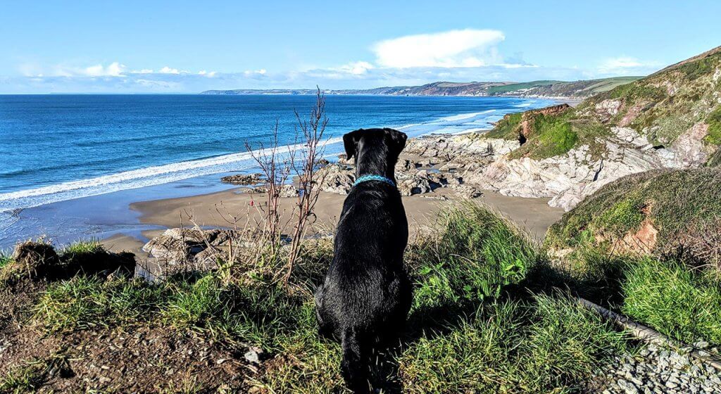
Whitsand Bay has nearly 4 miles of dog-friendly beach
This is definitely a favourite beach. While there are no facilities down on the beach (no loos or cafes), and there is a slightly steep path to get down (bear this in mind if you have little people who will need carrying back up at the end of the day!), you are rewarded with 4 miles of golden sand pretty much to yourself. The beach is dog-friendly all year round. Make sure you check the tide timetables when planning your visit, as it is possible to get cut off when the tide comes in. There is an army shooting range over the beach at Tregantle, so if you see the red warning flags flying, the beach access will be closed. All that walking probably means you’ve earned a treat, so reward yourself by having lunch at The View http://www.theview-restaurant.co.uk/ where the food is amazing (sadly not dog-friendly though).
Access – steep(ish) path with steps in parts from the road down to the beach, and no facilities.
Parking – free if you park in the layby at Tregantle Fort – PL11 3AZ
Bodmin/Minions – 11 miles from Kernock Cottages
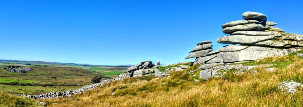
The Cheesewring, Bodmin Moor – Photo – Beth Bailey
Breathtaking views and ancient history in one neat package. Just outside the village of Minions, there are three Neolithic standing stone circles. These are The Hurlers, so called because legend has it they were village men turned to stone for playing hurling on the Sabbath. Close by is Rillaton Burrow – a very large early bronze age burial barrow. About a mile away you will find the famous Cheesewring (above), which has stunning views over South East Cornwall and into Devon. The area is part of the Cornish Mining World Heritage Site, and the moor carries the reminders of its mining past, in the shape of abandoned engine houses, one of which houses the Heritage Centre.
Parking – free car park PL14 5LL
Siblyback – 14 miles from Kernock Cottages
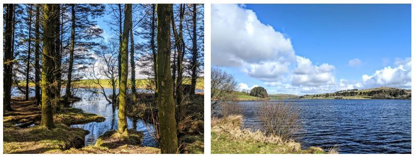
Siblyback has a level path around the lake
Part of the South West Lakes Trust, Siblyback is a popular watersports centre on top of Bodmin Moor, with wonderful views and an abundance of bird life. The walk is about 3 miles of graded track around the perimeter of the lake, making it easily accessible for buggies and bicycles (bike hire available). The Rockhopper Café is close to the car park if you need a refresher after your walk. If you want a longer walk, then you can carry on to Golitha Falls (see below), which is a spectacular set of cascades of the River Fowey through a steep-sided valley gorge. https://www.swlakestrust.org.uk/lakes/cornwall/siblyback/#facilities
Access – Tramper hire is available, and they also have a self-drive wheelyboat (wheelchair-accessible boar). There is designated accessible parking and there are accessible loos at the Centre.
Parking – is chargeable. Use PL14 6ER for Siblyback Lake car park
Golitha Falls – 12 miles – PL14 5ED
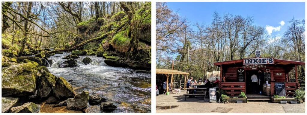
Golitha Falls and Inkie’s Smokehouse
On the edge of Bodmin Moor is an ancient oak woodland – Draynes Wood – which follows the river Fowey as it hurries down the valley in a series of cascades known as Golitha Falls. This is a magical walk (watch your step with all the exposed tree roots), and the falls are spectacular after heavy rainfall. There are plenty of flatter areas on the route for a spot of doggy paddle. In the car park you’ll find Inkie’s Smokehouse BBQ, which serves up huge portions of delicious home-cured bacon sandwiches and pulled pork, and there’s a great little farm shop that sells their home-cured bacon and Cornish cheeses.
Access – most of the route is not suitable for prams or wheelchairs as there are lots of exposed root systems, which are great fun for exploring, but do form trip hazards.
Rame Head – 17 miles – PL10 1LH
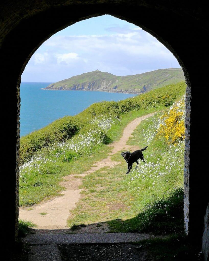
Walking the dog at Rame Head – Photo by Tanya Taylor
This is another cheat really, as the Rame Peninsula isn’t one walk, but many. Known as Cornwall’s Forgotten Corner, the Rame Peninsula has a fabulous wealth of scenery and natural interest (which has gained it AONB status) as well as being of historical importance (the Rame forts form the western part of the most extensive and complete historic coastal defences in the UK, dating back to the 16th Century). The Peninsula is bounded on three sides by water – on the southerly side you have the English Channel; to the east lies Plymouth Sound, and the northernmost parts run along the confluence of the Lynher and Tamar rivers. The South West Coast Path contours the peninsula, providing wonderful vistas over the great sweep of Whitsand Bay and giving access to the picturesque villages of Kingsand, Cawsand, Antony Cremyll, and Millbrook (among others) on its more sheltered aspects. Everywhere on the peninsula has lovely walks and an abundance of wildlife, flora, and history.
Parking – for the Chapel Walk, park at PL10 1LH
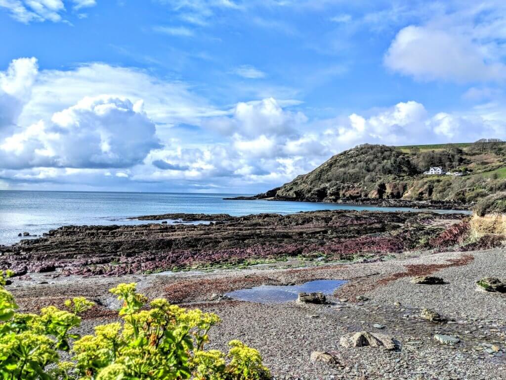
Talland Bay
Looe, Talland and Polperro on the South West Coast Path – 17 miles from Kernock (about 1/2 an hour)
This is a lovely section of the South West Coast Path. I usually drive to Looe and park in Marine Drive, which is close to the footpath proper, but if you want a bit more excitement then park at Liskeard Station and take the 8 3/4-mile Looe Valley Line train (dog-friendly), which is one of the great scenic railway routes of the UK, and follows the estuary as the river flows to the sea. The full route from Looe to the charming fishing village of Polperro is 5.7 miles each way, but there are pit stops at Talland, and Polperro has lots of watering stops in its narrow winding streets. You can also shorten the walk by just doing the Looe to Talland leg, or alternatively take the bus back from Polperro to Looe. There is a bit of up and down on this stretch of the Coast Path, and several areas where there are long flights of steps, so not suitable for buggies or wheelchairs.
Parking at Looe at Marine Drive – PL13 2DJ
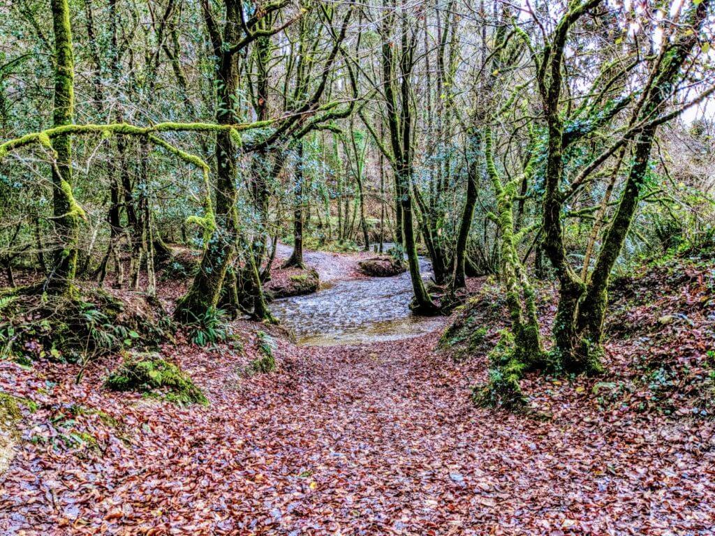
Photo of Cardinham Woods – Beth Bailey
There is loads of space here, with 650 acres of mixed woodland to explore. There are four walking trails at Cardinham https://www.forestry.gov.uk/cardinham , all of which are dog-friendly. One is easy (suitable for wheelchairs and buggies), two are moderate, and one is designated “hard”, up to the old Wheal Glynn lead and silver mine. There is usually a special marked trail to keep the little people engaged (currently a Highway Rat trail, when you need to keep a look out for various clues), and a rather fabulous café – the Cardinham Woods Café – where you can make up all those calories you lost walking the trails.
Access – Designated disabled parking (payable). The Lady Vale Walk is accessible to wheelchairs and buggies. The car park has accessible loos. The Café loos are not accessible (but the car park is close by).
Parking – £2 for 2 hours, or £5 all day – PL30 4A
We always enjoy hearing of new walks from our guests, so please do let us know if you discover any particularly brilliant ones, and we’d love to see your photos too 🙂

